Photo: UNDP Republic of Congo
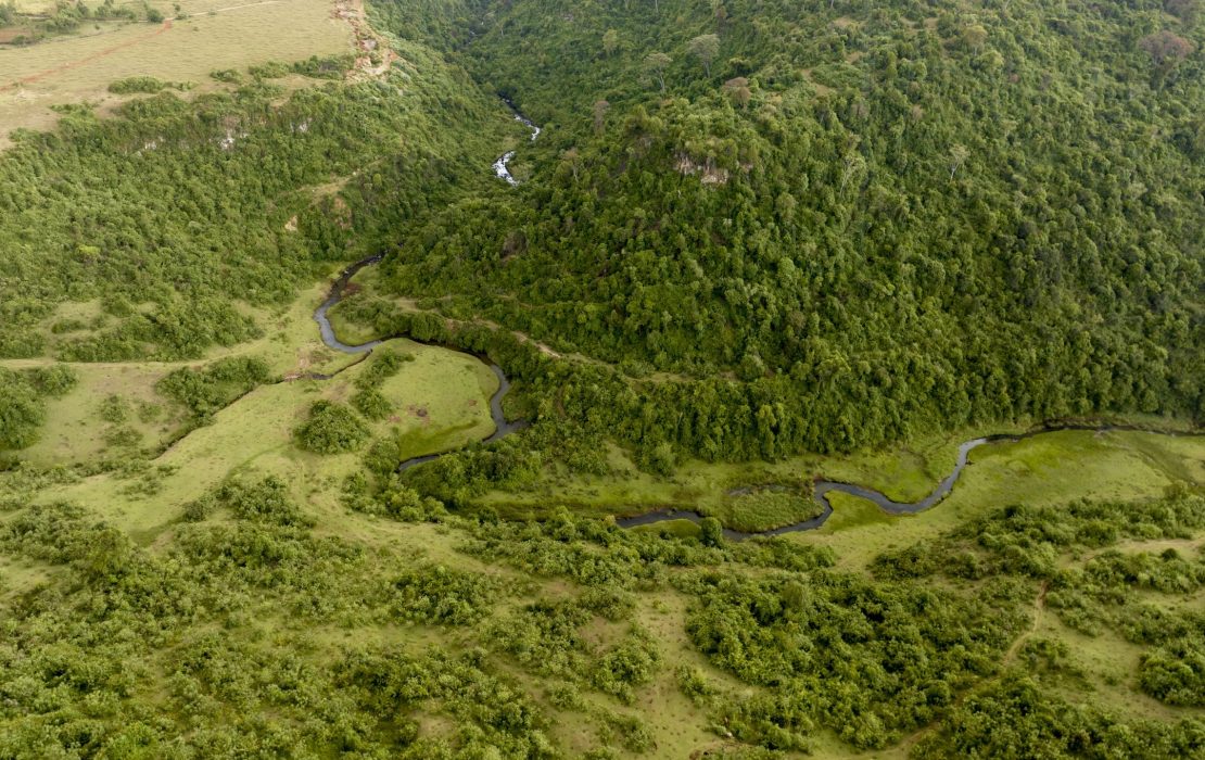
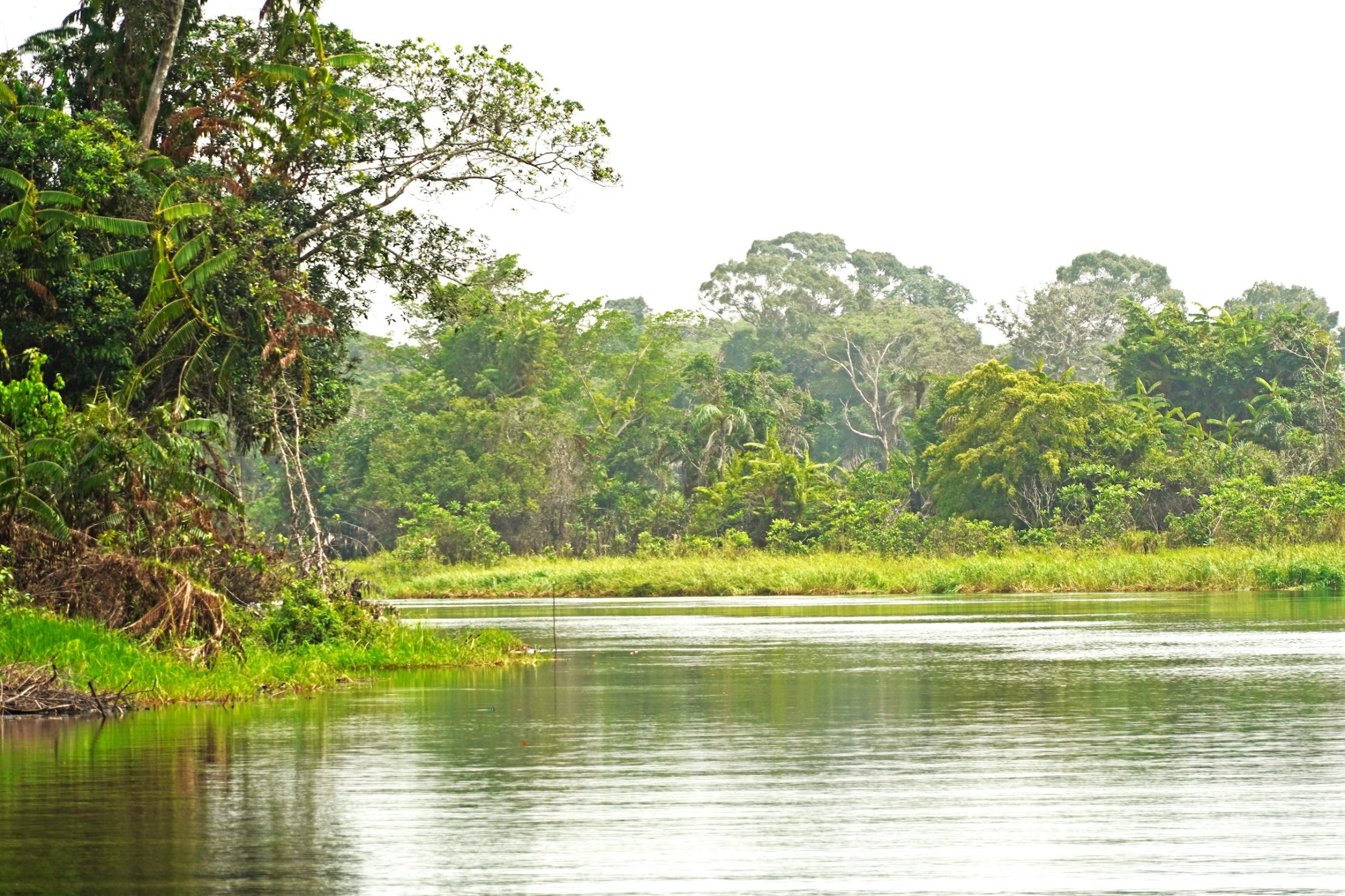
Forests cover almost two thirds of the Republic of Congo’s land area. These expansive and vibrant forests are part of the Congo Basin rainforest, the world’s second-largest tropical forest. Spanning six different countries in west-central Africa, the Congo Basin rainforest hosts a significant portion of the world's biodiversity and provides essential ecosystem services, including a vast capacity for storing carbon, as the world’s largest carbon sink.
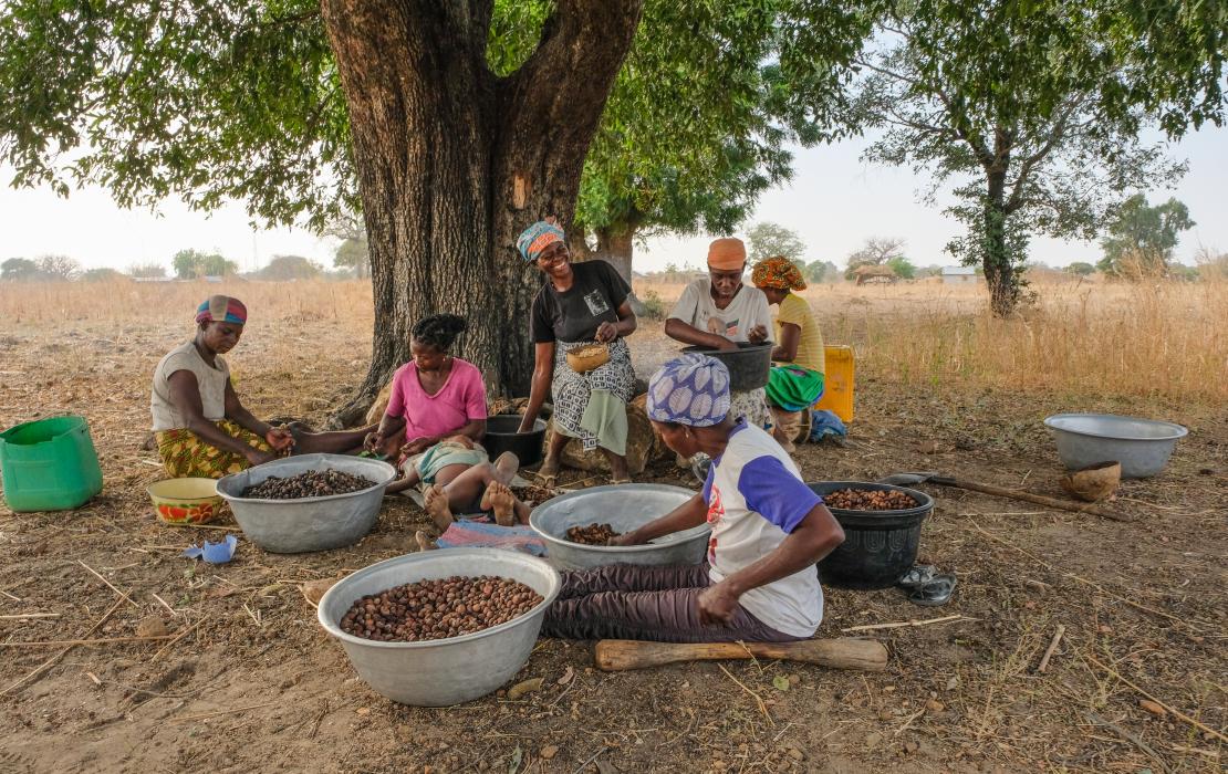
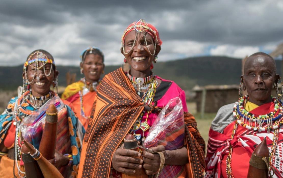
Moreover, a majority of people in the region, especially Indigenous Peoples and local communities, depend on these forests for their livelihoods.
However, in the Republic of Congo, ongoing land-use conflicts are affecting large forest areas with significant mitigation potential, including around 13 percent of forest concessions and 20 percent of protected areas, or more than 5 million hectares in total. As a result, by 2030, activities related to land use, land-use change, and forestry are estimated to become the second largest source of greenhouse gas emissions in the country.
One significant reason for this challenge is the incompatibility and overlap of permits for various types of land use. Because there is little coordination across government sectoral ministries on land planning and use, land-use conflicts arise between different stakeholders and sectors such as forestry, agriculture and mining. As lands become increasingly attractive for mining or production purposes, these land-use conflicts highlight the need for better management of land and natural resources.
They also threaten to impede the country’s plans for low-emission development. According to its Nationally Determined Contribution (NDC) under the Paris Agreement, the Republic of Congo aims to cut emissions from the land use, land-use change, and forestry sector by 29 percent by 2030, compared to a 2017 baseline. If additional external support were to be provided, the country commits to making the cuts much higher, to 73 percent. Yet, these goals can only be achieved through improved land-use planning, a necessary and strategic action that can support the country to solve land-use conflicts.
As UNDP, we are a key partner of the Government of the Republic of Congo, providing unique expertise in supporting the design and implementation of the country’s NDC and national policies to manage forests sustainably. Through our flagship Climate Promise initiative, we are working to strengthen the country’s efforts to achieve its mitigation goals. Here are three things we have learned while supporting the country in its efforts to improve land management:
1. Regulatory frameworks are essential for good governance
Land-use conflicts are often generated by sectoral land allocations that are made independently throughout the country. To address this issue, UNDP supported the government in the elaboration and promulgation of a decree establishing an inter-ministerial committee on land use and development planning. This committee now serves as a cross-sectoral platform for land-use planning given its key mandate to coordinate and mainstream land use, land-use change, and forestry into the country’s development planning.
By centralizing, examining, analyzing and validating the decisions from departmental and municipal levels, this national committee ensures that there is a unified approach to land-use planning, which reduces land-use conflicts and inconsistencies in land-use policies and promotes harmonious development.
Operating under the authority of the Prime Minister, the committee includes representatives of ministries with overlapping interests in land use to ensure that policies and decisions are integrated and coherent across sectors. It also includes representatives of land users from the private sector, local communities and human rights defenders. This configuration ensures that a wide range of stakeholders are involved in decision-making process related to land use and forests, promoting transparency, fairness and inclusivity.
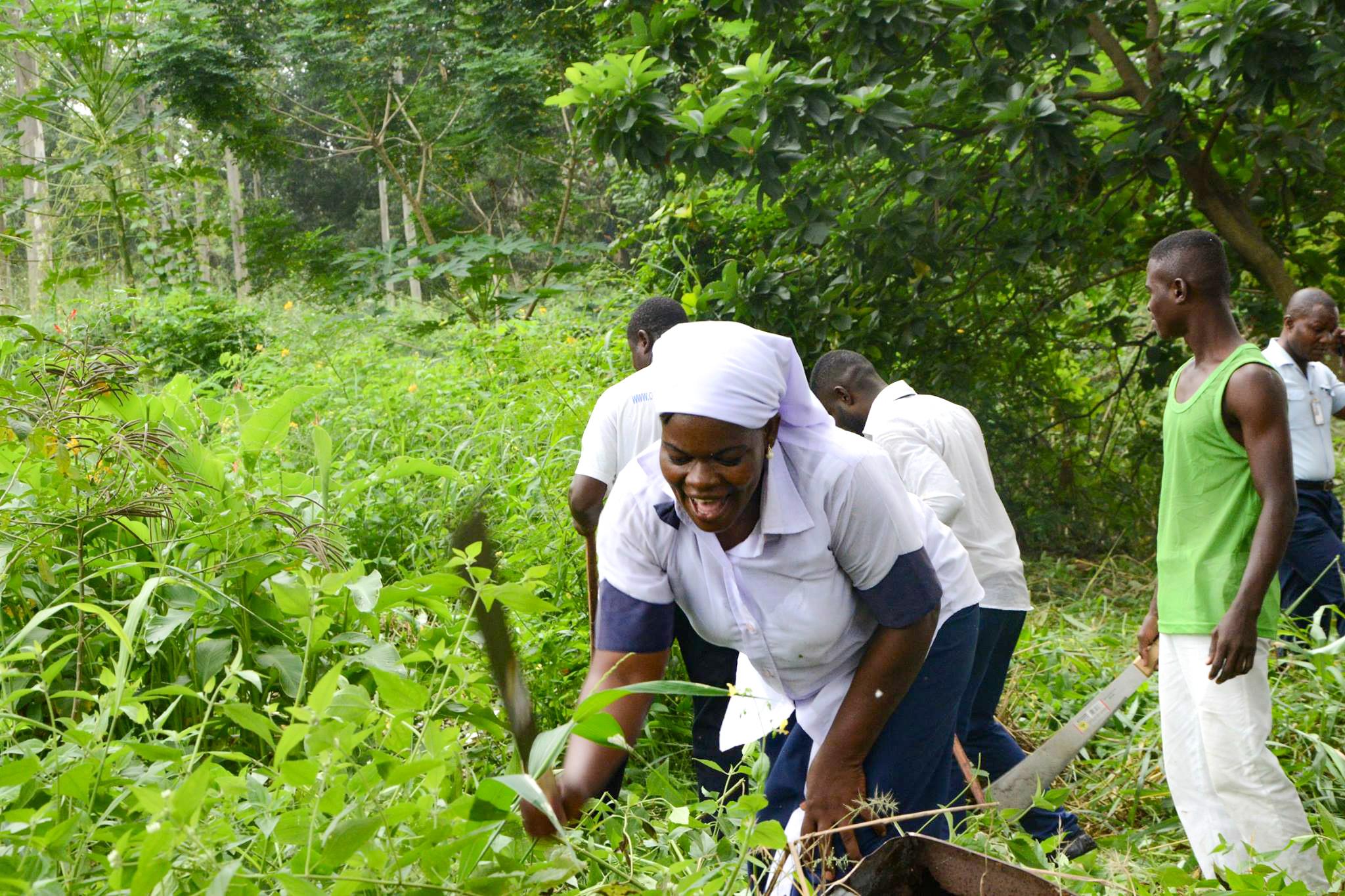
Photo: UNDP Republic of Congo
2. Policies need resources to be operationalized
When new institutions are set up, they need dedicated technical and financial resources to function effectively. This is why UNDP also supported the establishment of a technical secretariat for the inter-ministerial committee, which plays a vital role in translating decisions into concrete outcomes.
For instance, the secretariat developed a comprehensive policy framework on the management of land-use conflicts across various sectors and areas, such as protected areas conflicting with mining or forest concessions, or agricultural activities conflicting with forest concessions.
The secretariat also conducted a mapping of cross-sectoral land use, which allowed them to identify cases of overlapping land use and start the necessary arbitration. To date, they have resolved 198 land-use conflicts involving protected areas with high conservation and/or high sequestration value, forest concessions and mining concessions covering an area of more than 3.4 million hectares, across eight departments. The arbitration in these cases will help enhance governance and transparency, minimize environmental degradation, and promote equitable access to natural resources for all stakeholders involved.
3. Inclusive data is key for effective planning
Quality data on land use has proven essential to inform this work and facilitate decision-making. To address the limited availability of data in this area, UNDP supported the country in collecting accurate and up-to-date information on protections, concessions and permits from sectors such as agriculture, forestry, mining and fossil fuel exploration and exploitation.
A key aspect of this work was to ensure diverse perspectives were considered in these processes, including from vulnerable and marginalized communities whose livelihoods are directly dependent on effective land-use planning. The data collection process was conducted in an inclusive and gender-responsive manner to allow the active participation of women, Indigenous Peoples and youth.
To do this, UNDP equipped the General Directorate for Land Use Planning and the National Center for Forest Inventory and Management (CNIAF) with tools that enable data collection from remote areas and communities and facilitate comprehensive land-use mapping and planning. The improved data collection capabilities ensure that even the most remote sites are included in the planning process, promoting more effective and inclusive land-use management.
Through these efforts, the Republic of Congo is paving the way for more sustainable land practices. As forests continue to be increasingly attractive for mining or production purposes, this momentum needs to be maintained to ensure the sustainable management of forests and to uphold and increase the country's current carbon sequestration capacity, while protecting the rights of Indigenous Peoples and local communities. UNDP is exploring ways to establish further synergies with ongoing or planned interventions to sustain the effective operationalization of the inter-ministerial committee and support sustainable land-use planning.
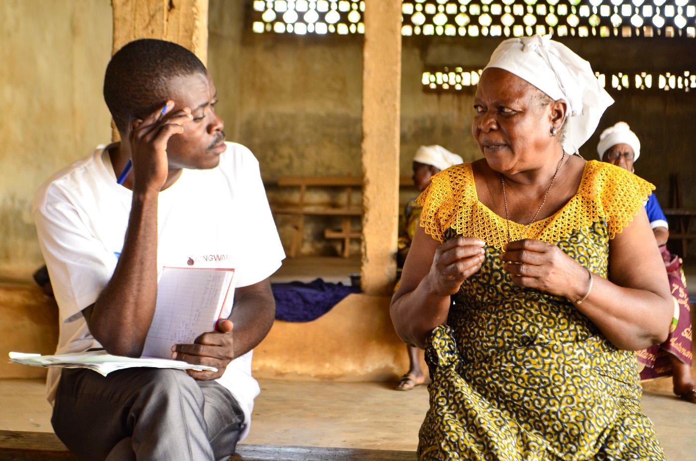
Photo: UNDP Republic of Congo
***
This project was developed under UNDP’s Climate Promise by the Pledge to Impact Programme. The Pledge to Impact Programme helps countries translate NDC targets into into concrete action, with generous funding from the governments of Germany, Japan, United Kingdom, Sweden, Belgium, Spain, Iceland, the Netherlands, Portugal and other UNDP’s core contributors, and it underpins UNDP's contribution to the NDC Partnership.
Editor’s note: Many thanks to Hollande NZIENDOLO, Arsene SAYA and Duciel BATOLA from the UNDP country office in the Republic of Congo who provided substantive inputs on this blog.

